A preliminary bushfire assessment is ideal to identify any bushfire-related constraints to your proposed development or before you purchase a lot.
It includes a site visit, written details of items discussed and/or assessed onsite, and detailed maps where required.
If you are planning on building or renovating, we can provide advice to identify development options including optimal building envelope locations,
and detailed Bushfire Attack Level (BAL) assessment maps that show the different BAL ratings overlaid across the site.
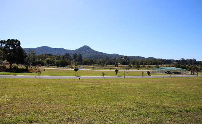
We utilise drone technology to gain high-resolution aerial images, providing a detailed overview of your property. These images allow us to accurately
assess the landscape, vegetation, slope and potential bushfire hazards. The data gathered informs our recommendations on building placement and
bushfire mitigation, ensuring a thorough and site-specific assessment.
Please note: a Preliminary Bushfire Assessment cannot be used for DA submission.